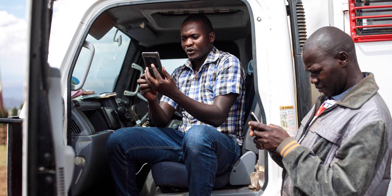

GPS-enabled smartphones provide an unprecedented opportunity for governments, funders, and NGOs to collaborate with local communities to document their land rights. By mapping the soil they work, farmers can chart a path to a better future.
LUSAKA – Global positioning system (GPS) technology was originally developed to track nuclear submarines during the Cold War. For years, it has helped to prevent drivers everywhere from getting lost. Today, GPS tools have the potential to document the land of millions of subsistence farmers across Sub-Saharan Africa, thus protecting them from possible land grabs and removing a significant barrier to the region’s economic development.
Armed with GPS-enabled tablets or smartphones, local and international NGOs and African governments are mapping the property lines of everything from clam farms in Ghana to cotton fields in Zambia. Funding for this work comes from the US Agency for International Development (USAID), the United Kingdom’s Department for International Development (DFID), and national treasuries.
These efforts address one of the most pernicious and disastrous bottlenecks in agricultural development. The World Bank estimates that only 10% of rural land tenure in Sub-Saharan Africa is documented. Given the scale of the problem, governments, NGOs, and funders must rapidly expand this work and leverage technological innovations to provide land documentation quickly and efficiently to farmers across the region.
We hope you’re enjoying Project Syndicate.
To continue reading, subscribe now.
or
Register for FREE to access two premium articles per month.
Already have an account? Log in


Comments